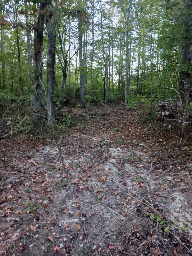
I was inspecting the southern part of my ranch when I came across a spot in the woods that had been bulldozed probably a month ago. The driver had entered my property from a new road he had created in the land adjoining my ranch (see below) and cleared several channels through the underbrush. Needless to say I was stunned.
I looked up the land owner and asked if he was aware that someone had driven a bulldozer on his property and then crossed over into my property and cleared some underbrush. He replied that it was him and he hadn't realized he had crossed on to my ranch because the county GIS parcel map on the Internet showed the boundary differently.
For the vast majority of people who haven't heard of GIS, GIS stands for Geographic Information System. In a nutshell GIS is digital maps and the technology used to make, manage, and view those maps. GIS is used by any industry that uses maps and accuracy is very important. It's used by highway departments, airports, utilities, disaster response organizations, tax departments, military, shipping and many other professions.
Something I've probably never mentioned on this blog is that I'm very experience with GIS data and technology. That's my day job. I've worked with GIS technology and written GIS software for leading companies and government agencies in the industry for over a decade, so, when I see bad GIS data I know it.
I exported Nottoway County’s GIS data from their online viewing application and loaded it into the GIS application on my laptop. The above image shows a comparison between the County’s GIS data (dashed line) and the more accurate GIS data I transcribed from the plats I received as legal documents when I purchased the property (solid line). My data is dead accurate and aligns with all survey markers. Nottoway County’s GIS data looks like it was created by someone severely intoxicated.
I cannot fathom how and why Nottoway County ended up with data that bad. Typically governments outsource the production of such data to contracting companies, but there should always be a quality control process where the purchaser checks to see if the data is accurate. This review process was either never done or done by someone who didn’t know how to review data for accuracy. What puzzles me even more is why Nottoway County would decide to make this data available online to the public. This data is so inaccurate it provides zero benefit to the public. In fact the only impact it has on the public is the harm that comes from when people mistakenly believe the data is accurate.
Out of concern I have attempted to contact Nottoway County but, to this day, they have not responded.
Update: the county did eventually respond and agreed to fix the data. While I'm happy they did this I'm still concerned about how many other thousand of property owners might be effected.

